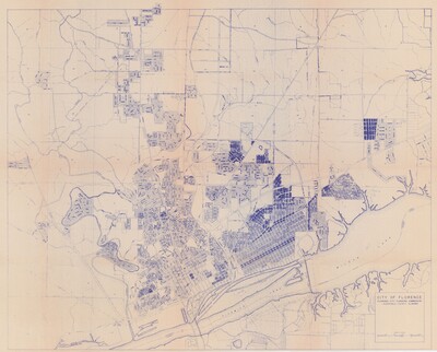
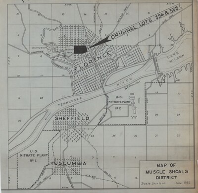
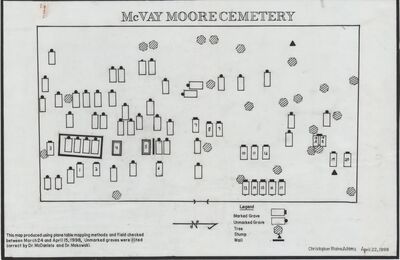
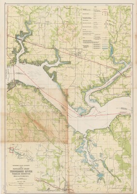
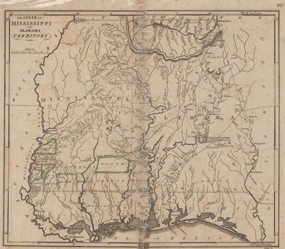
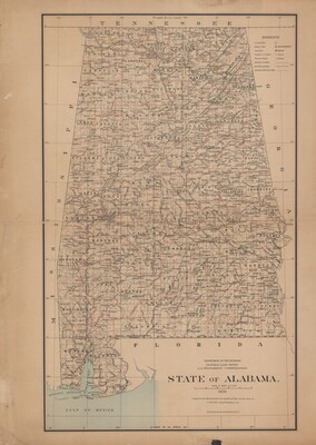
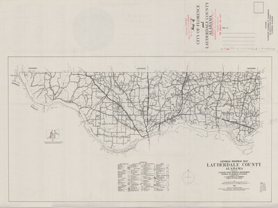
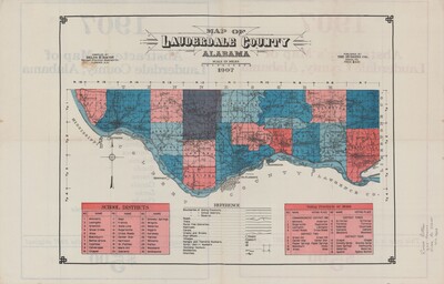
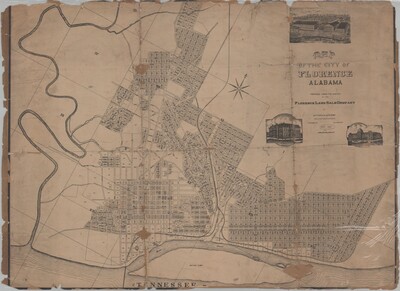
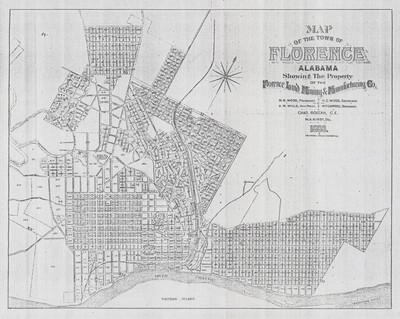
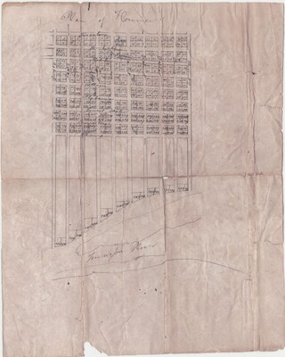
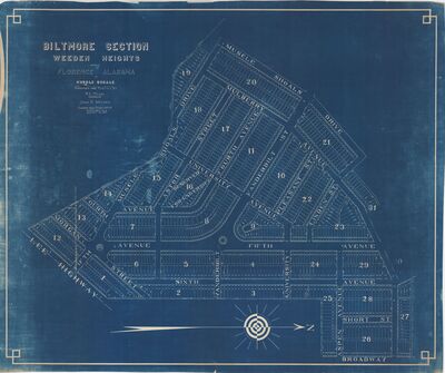
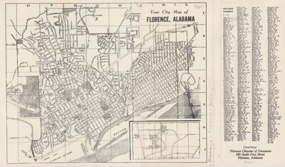
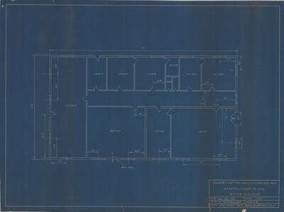
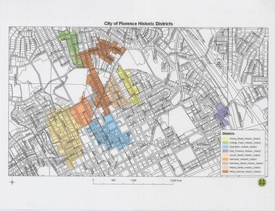
The maps included within the collection primarily feature state, local, and regional maps.
Printing is not supported at the primary Gallery Thumbnail page. Please first navigate to a specific Image before printing.

The maps included within the collection primarily feature state, local, and regional maps.


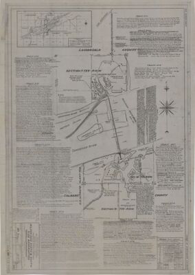
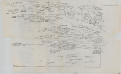
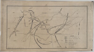
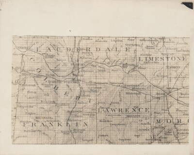
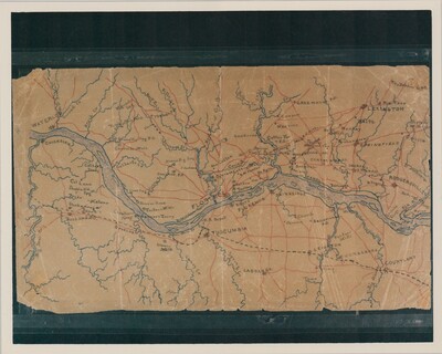
, and Lawrence Counties, 1864")
