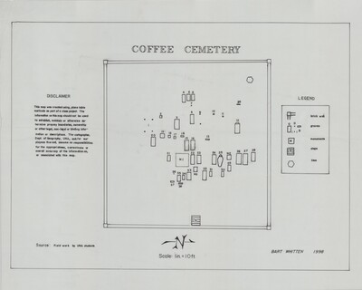
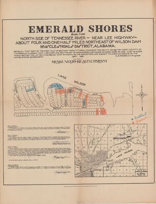
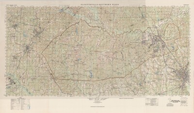
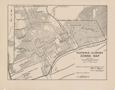
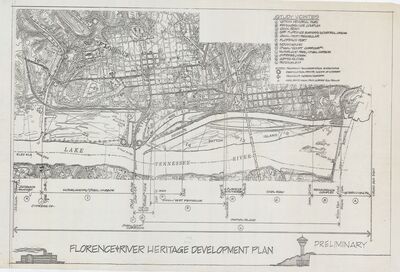
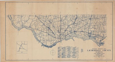
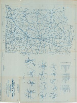
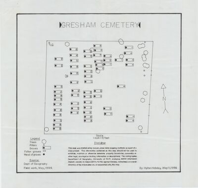
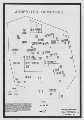
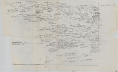
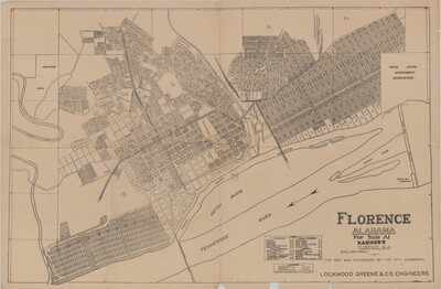
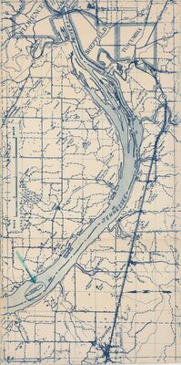
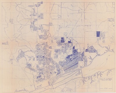
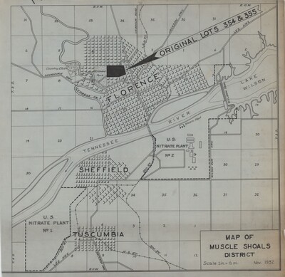
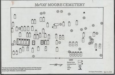
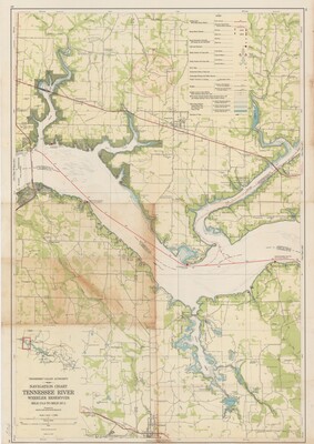
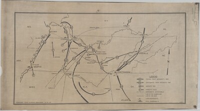
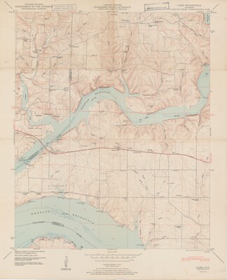
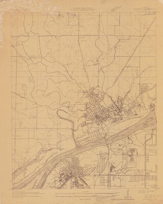
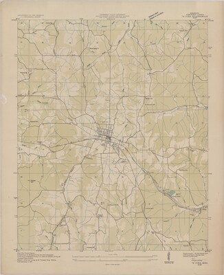
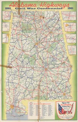
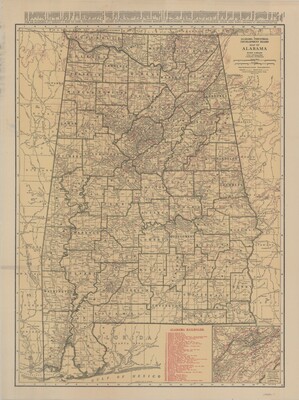
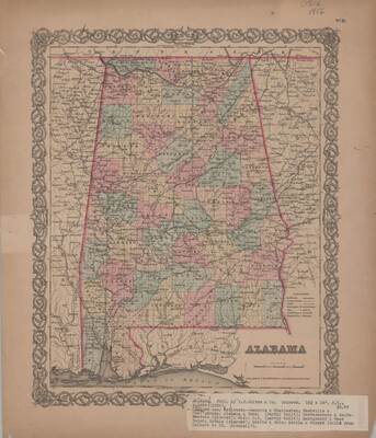
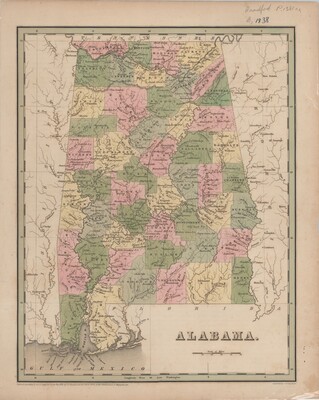
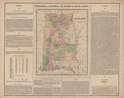
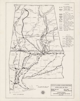
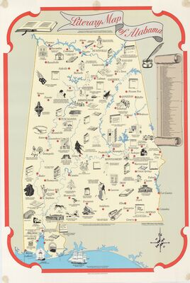
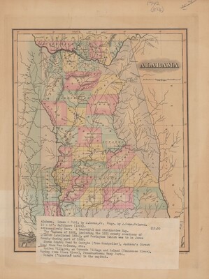
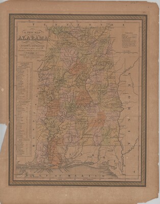
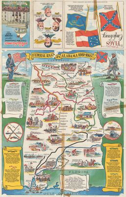
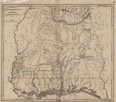
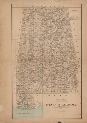
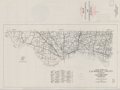
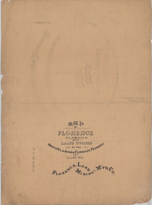
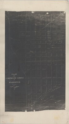
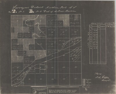
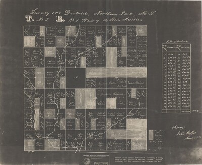
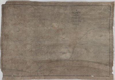
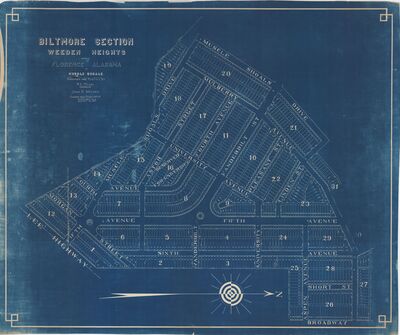
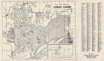
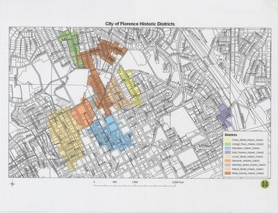
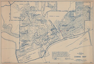
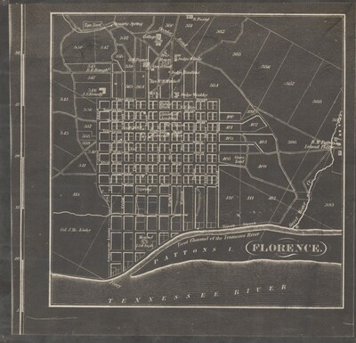
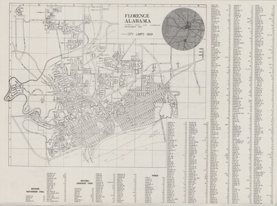
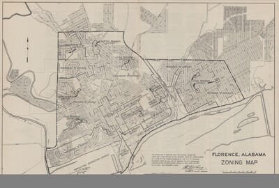
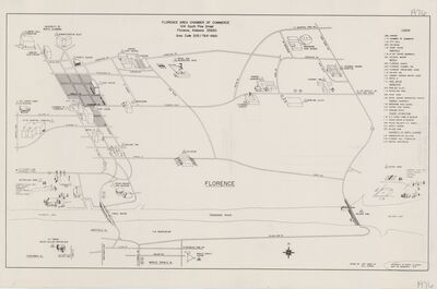
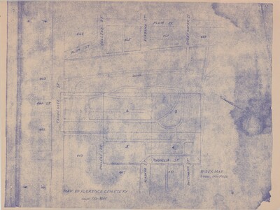
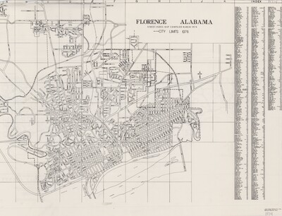
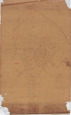
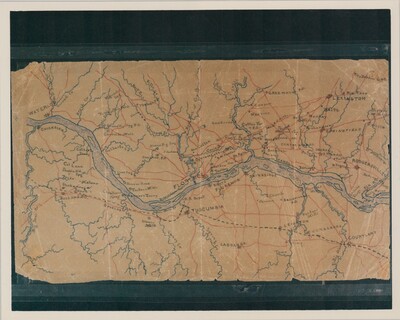
The maps included within the collection primarily feature state, local, and regional maps.
Printing is not supported at the primary Gallery Thumbnail page. Please first navigate to a specific Image before printing.

The maps included within the collection primarily feature state, local, and regional maps.

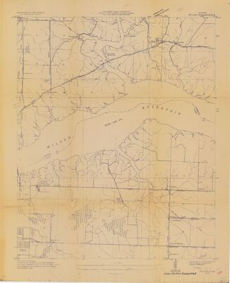
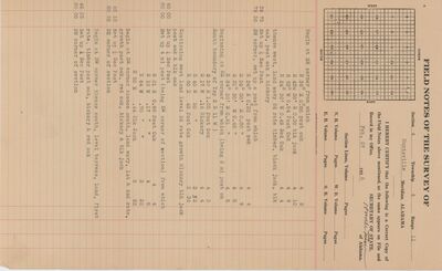
 by US Geological Survey and Tennessee Valley Authority (TVA), Maps and Surveys Branch")
 by Arthur E. Morgan; Carl A. Bock; Albert Pike; Department of the Interior, US Geological Survey; and Tennessee Valley Authority, Maps and Surveys Branch")
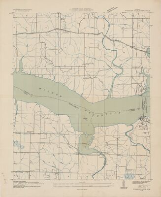
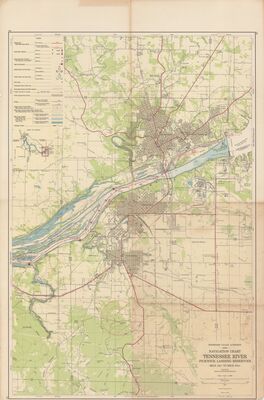
 by US Geological Survey; Tennessee Valley Authority (TVA), Maps and Surveys Branch; Arthur E. Morgan; Carl A. Bock; and Albert Pike")
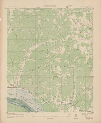
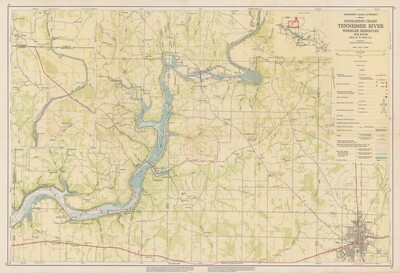
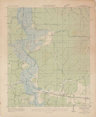
 by US Geological Survey; Tennessee Valley Authority (TVA), Maps and Surveys Branch; Arthur E. Morgan; Carl A. Bock; and Albert Pike")
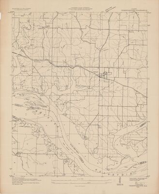
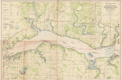
 by US Geological Survey; Tennessee Valley Authority (TVA), Maps and Surveys Branch; Arthur E. Morgan; Carl A. Bock; and Albert Pike")
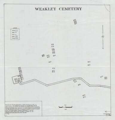
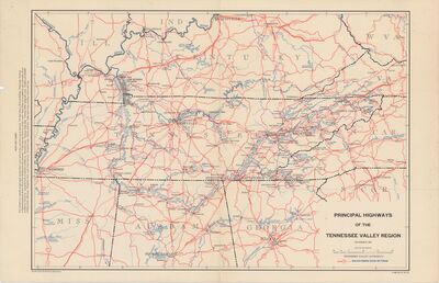
 by US Geological Survey; Tennessee Valley Authority (TVA), Maps and Surveys Branch; Arthur E. Morgan; Carl A. Bock; and Albert Pike")


