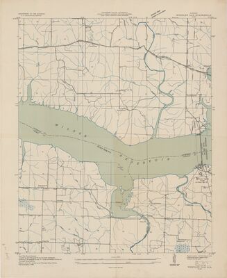
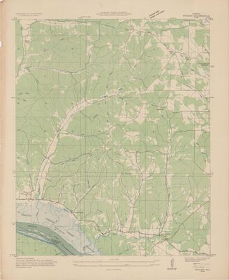
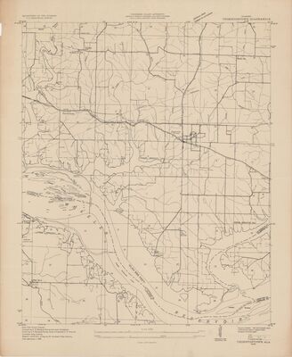
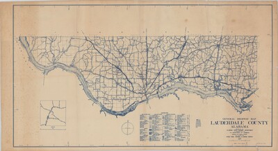
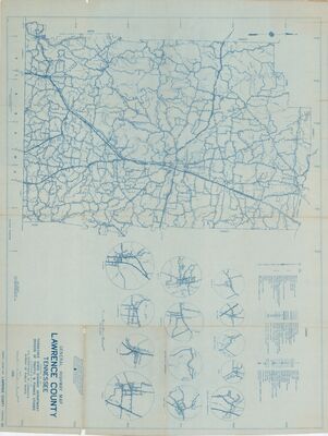
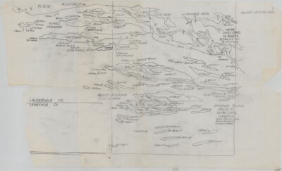
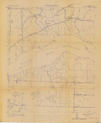
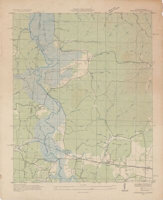
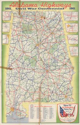
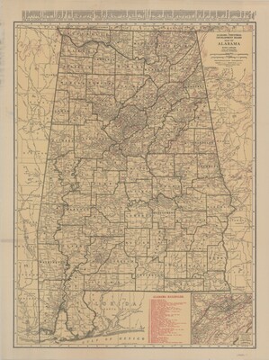
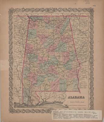
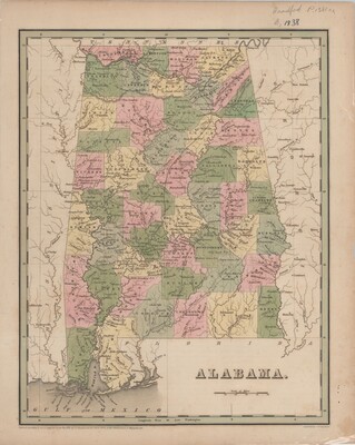
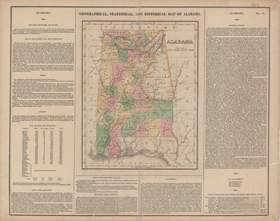
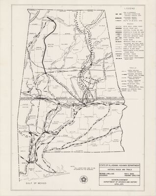
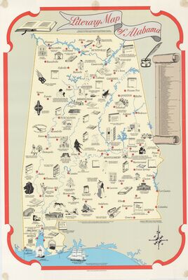
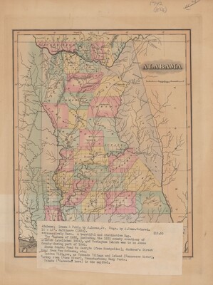
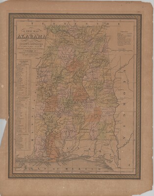
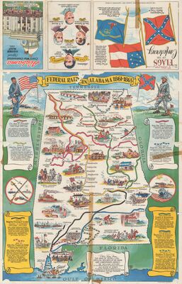
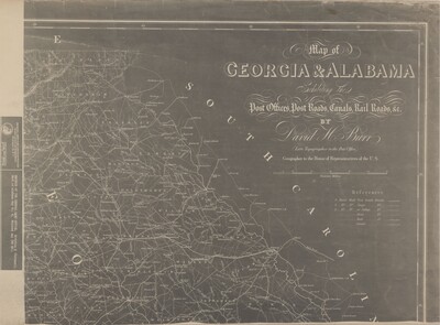
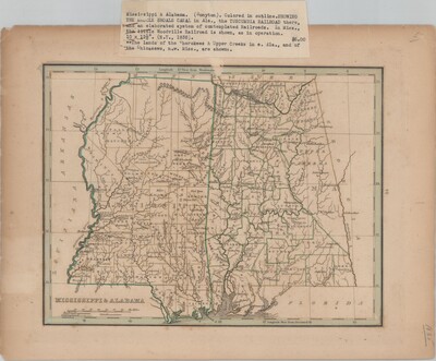
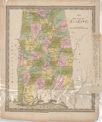
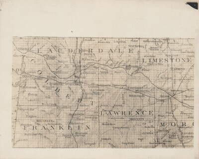
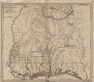
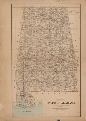
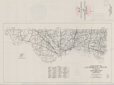
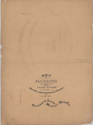
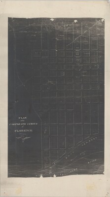
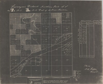
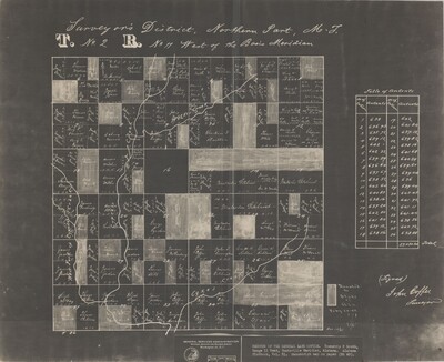
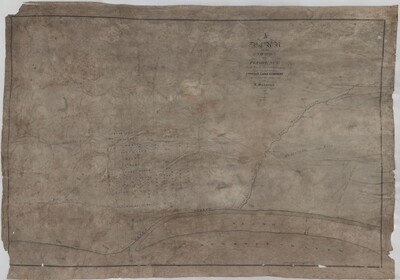
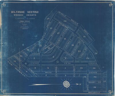
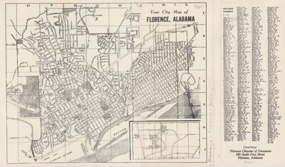
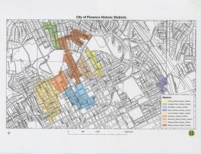
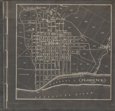
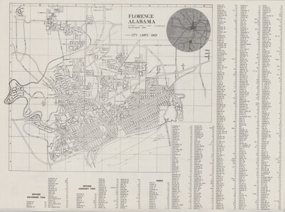
The maps included within the collection primarily feature state, local, and regional maps.
Printing is not supported at the primary Gallery Thumbnail page. Please first navigate to a specific Image before printing.

The maps included within the collection primarily feature state, local, and regional maps.

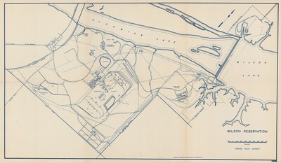
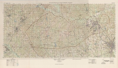
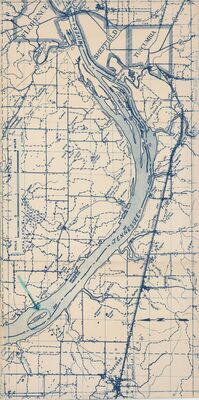
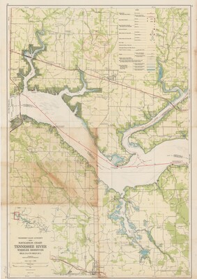
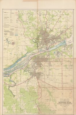
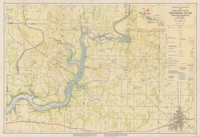
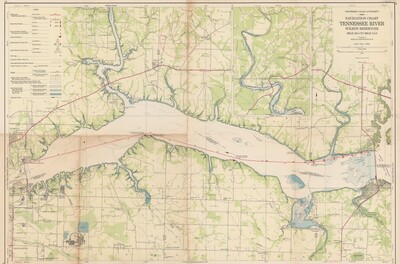
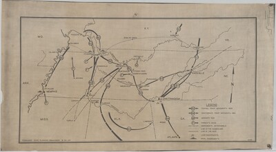
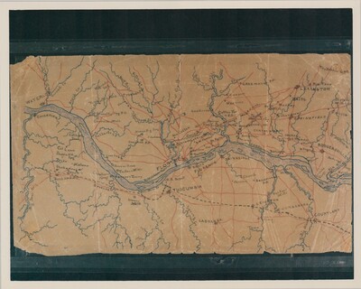
 by Tennessee Valley Authority")
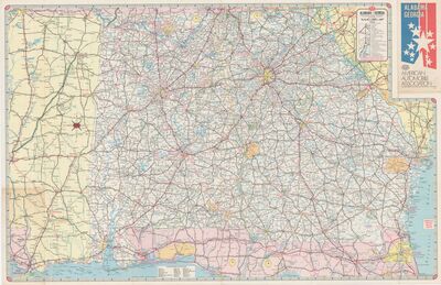
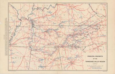
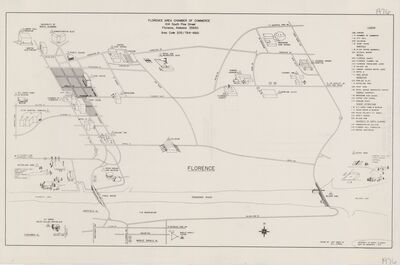
 by American Automobile Association")
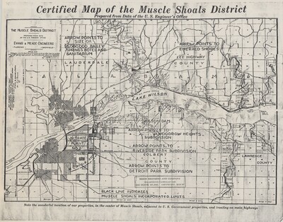
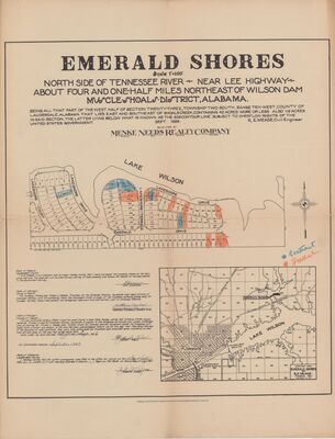
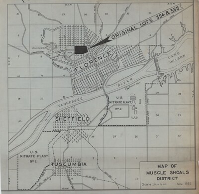
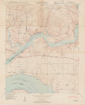
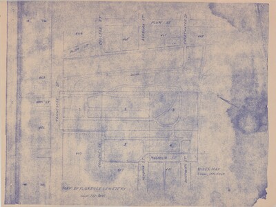
 by Evans & Meade Engineers")
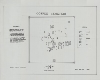
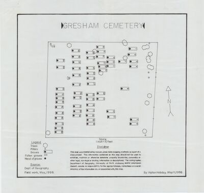
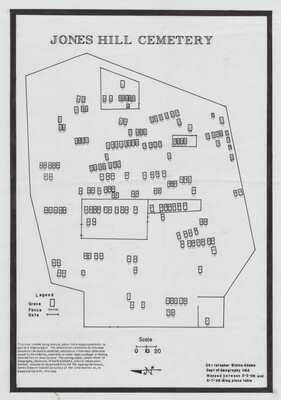
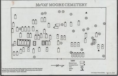
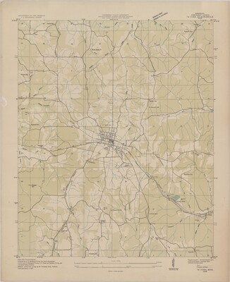
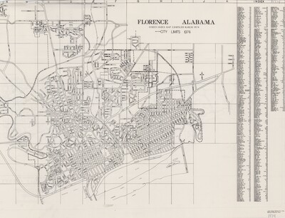
 by Bart Whitten and UNA Department of Geography")


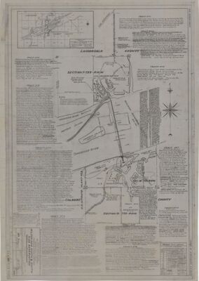
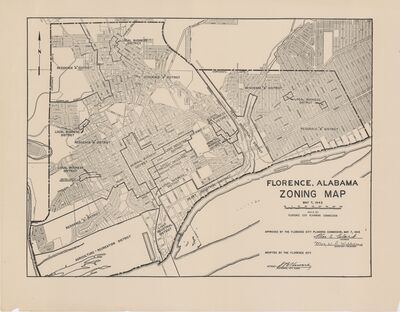
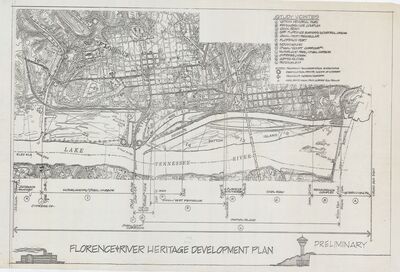
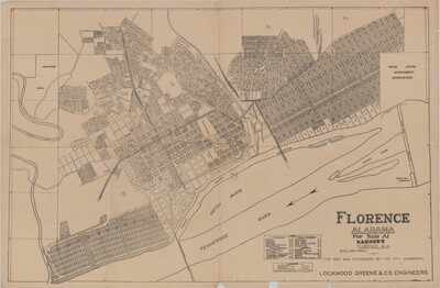
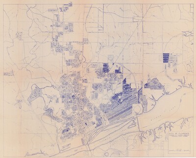
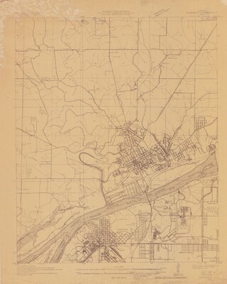
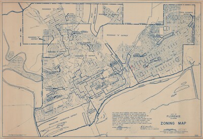
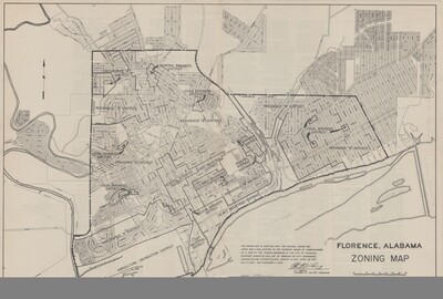
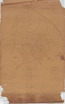
 by Florence City Planning Commission")

